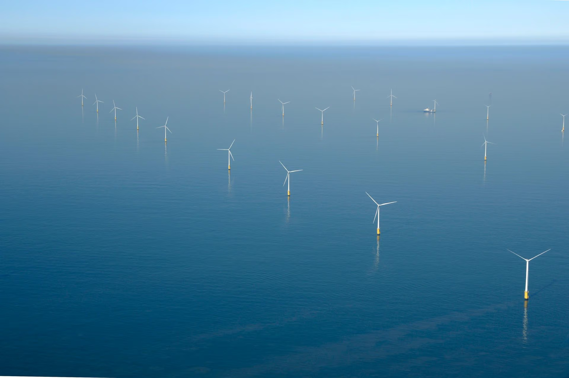
The KNMI North Sea Wind (KNW) Atlas provides wind climatology for the North Sea and the Netherlands. The KNW-atlas contains climatological and hourly undisturbed wind data (without wind turbine wake effects) based on more than 40 years (1979-2019) of re-analysed data. If you are interested in long-term statistical values such as averages and extremes, the KNW-atlas is hard to beat.
Note: The KNW-atlas originally covered a 35 year period (1979-2013). All the validation reports and images in the library that are presented on this website are based on these 35 years. But the KNW dataset itself is available for 40+ years (1-1-1979 00 UTC until 31-8-2019 18 UTC), because it has been extended to the end of ERA-Interim in the DOWA-project.
However, due to the applied method to create the KNW-atlas, the hourly correlation with measurements (e.g. daily cycle) is rather poor. Also, the KNW-atlas lacks information above 200 meter height and information that enables further downscaling with Large Eddy Simulation (LES) methods. That is why KNMI made another wind atlas: The Dutch Offshore Wind Atlas (DOWA).
The DOWA is a 10 year climatology (2008-2017) with a better hourly correlation than the KNW-atlas, information up to 600 m heights and the option to downscale the information in DOWA from hourly to less than 60 seconds and from 2.5 km to less than 100 m horizontally. Also the domain is larger than that of the KNW-atlas, including the areas where the German wind farms are (being) built and planned. The DOWA-data and all information on the DOWA-project can be found on the DOWA-project website.
